
Excavation – Book 4 – on Location at Stonehenge
Visiting Stonehenge for Research: Behind the Scenes of “Excavation” (Moreton Scientific Investigation Series Book 4)
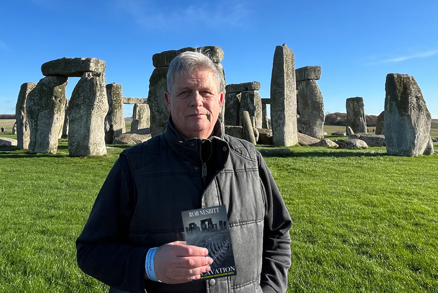
I’ve just published Excavation, the fourth book in the Moreton Scientific Investigation Series. A significant part of this novel is set at Stonehenge — the iconic and mysterious stone circle on Salisbury Plain in the UK.
Knowing how much Stonehenge has changed since my last visit around 50 years ago, when you could simply park by the roadside and walk up to the stones (even touch them for free), I knew I had to return. Today, the site is rightly managed by English Heritage, who protect and preserve this ancient monument while providing a world-class visitor centre, allowing us to better understand the ancestors who lived here and constructed this awe-inspiring structure.
Excavation begins with the Moreton Scientific Investigation team, led by Dr Ben Sharman, conducting a deep scan beneath the centre of Stonehenge using (excuse the pun) truly groundbreaking technology. A large drone equipped with state-of-the-art deep-scan equipment reveals underground structures in greater detail and at greater depths than ever before.
However, the scan inadvertently triggers something hidden beneath the surface, activating an alien sequence of events with devastating consequences for the entire planet. Without giving too much away, much of the early action takes place across the British Isles, but, as in Transformation (the previous book in the series), the story eventually expands across the globe.
While writing about Stonehenge and the nearby town of Amesbury, I realised I was at risk of facing criticism if I strayed too far from reality. Readers familiar with the area would quickly spot inaccuracies in the landscape and layout. The only solution was to revisit Stonehenge in person — a decision I’m very glad I made.
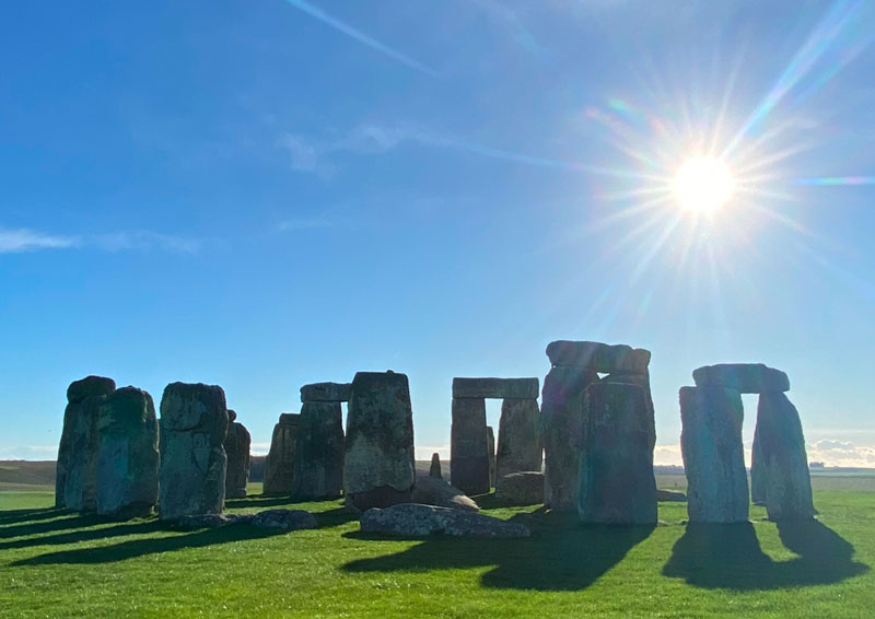
Although Google Maps is a fantastic tool for exploring the world from your home, it can never replicate the real experience. The Google Maps van doesn’t drive into the entire Stonehenge site or through its visitor centre! Up close and personal, the site is truly vast, with a magnificent visitor centre at the main entrance.
To reach the stone circle, located over a mile from the entrance, visitors can take a regular shuttle bus. However, after a quick consultation with my wife, Joanna (the real boss!), we decided to walk. Despite the biting cold, the clear skies made it a perfect day to soak up the landscape.
Walking alongside the service road allowed me to absorb the atmosphere in a way no online map ever could. The real sounds of the area, such as the distant echoes of artillery fire from the army training range to the north, added an unexpected but invaluable sensory detail to my research — details that Google Street View simply can’t provide.
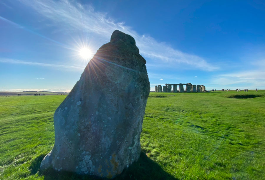
The pathway around the monument offered an uninterrupted 360-degree view of the surrounding horizon, critical for accurately describing certain scenes in the book. Observing the service roads, terrain, and subtle changes in elevation helped me paint a far more authentic picture for readers.
One major lesson from this research trip is that you can never truly capture the atmosphere, sounds, or minute details of a location unless you visit it yourself. A bonus for any author doing ‘on-site’ research is that these trips can be considered legitimate expenses — which certainly keeps my accountant happy!
Looking ahead to my next project, Legend, set around Loch Ness in Scotland, I’ll be heading to the Highlands to immerse myself in the mystery of the Loch Ness Monster. I plan to explore the terrain, visit the local towns, and meet the people — an adventure that should make Legend a richer and more authentic story than if I simply stayed here in South Wales, typing from my desk.